 Tip: Are you a non-native English speaker? I have just finished creating a
  Web App
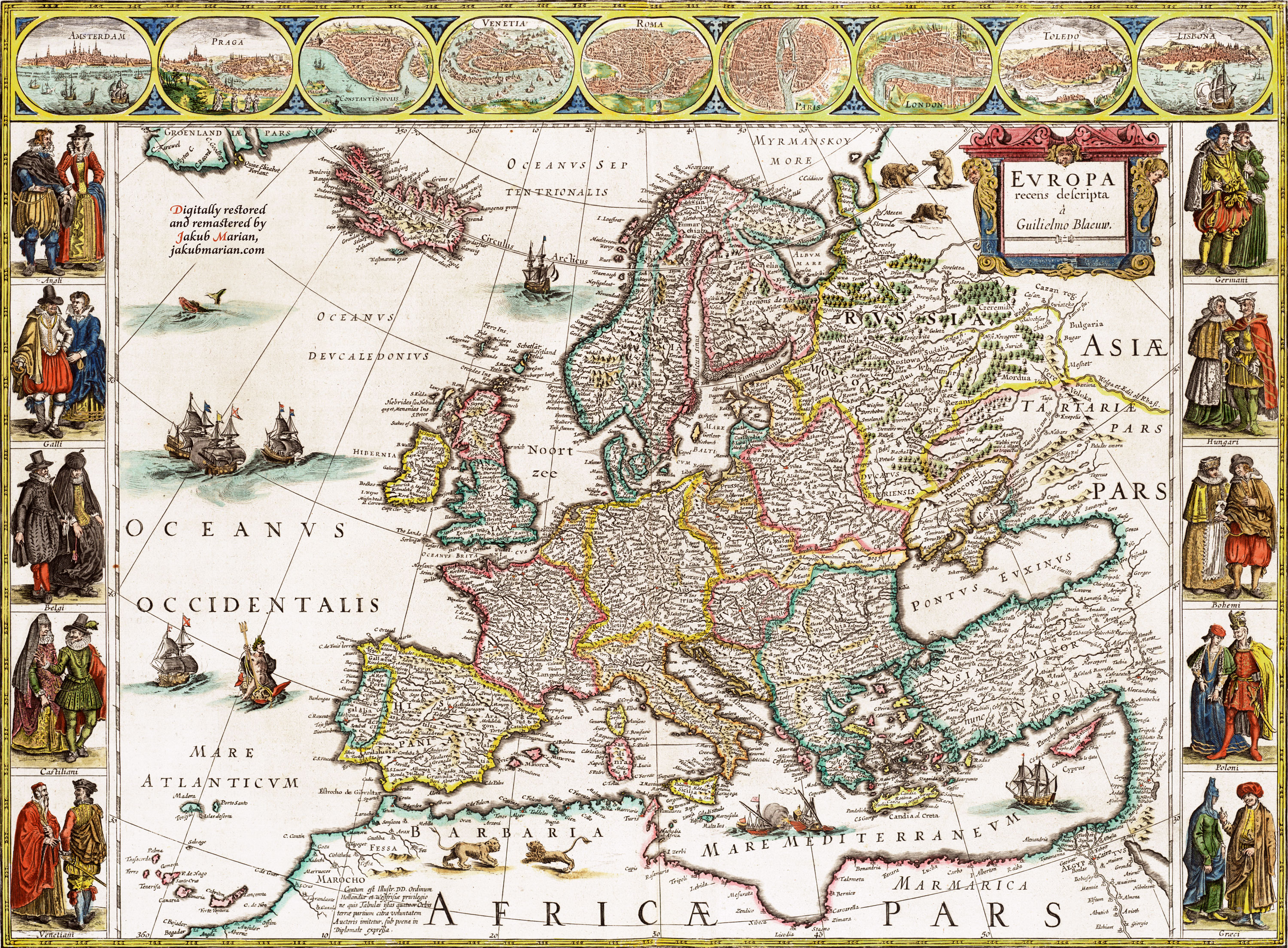
The map below was created by Dutch cartographer Willem Blaeu, likely in 1635 (according to some sources). I used the version published here, which has the year 1644 in the filename, without further explanation. This year could possibly refer to the year the print was coloured. I digitally cleaned and remastered this version, the result of which you can see below:

