 Tip: Are you a non-native English speaker? I have just finished creating a
  Web App
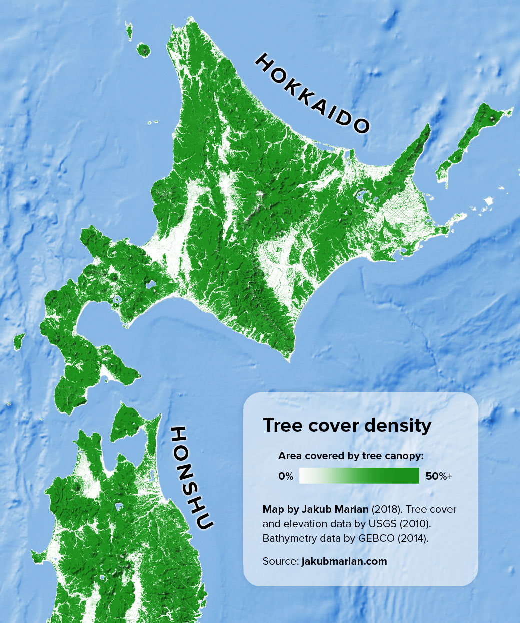
The map below shows the percentage of land covered by tree canopy (based on data by the U.S. Geological Survey from 2010) together with a shaded relief representing elevation (also based on data by the USGS) on the Japanese island of Hokkaido. It is part of my larger map of the region of Japan and the Korean Peninsula.
One of the most interesting features to notice is a rectangular pattern in the eastern part of the island. This is not a rendering error; as can bee seen on Google maps, it consists of patches of agricultural land divided by trees in regular intervals.
Do you like the map? Show your support by sharing it.Sharing with attribution helps me create more maps.

