Tip: Are you a non-native English speaker? I have just finished creating a
  Web App
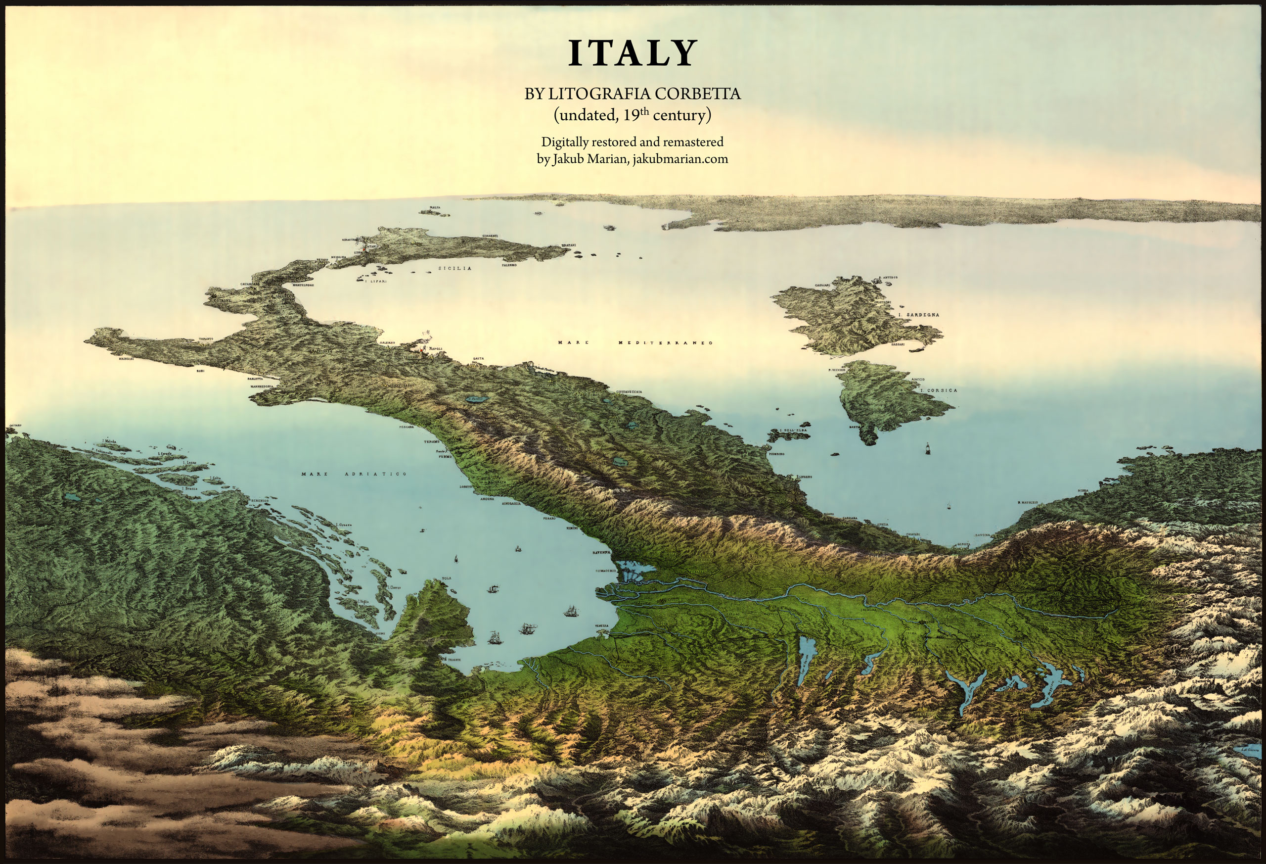
The map below was published by Litografia Corbetta, a printing company that existed in Italy in the 19th century. I have created a digitally restored and remastered version, which is based on a scan by the Library of Congress.
The year when the map was published is unclear. It seems to be a different version of a map entitled Veduta d’Italia, which was published in 1853.
You can get the restored version of the map in print (as a poster, postcard, bag, and more). By doing so, you will support my map restoration activities: