Tip: Are you a non-native English speaker? I have just finished creating a
  Web App
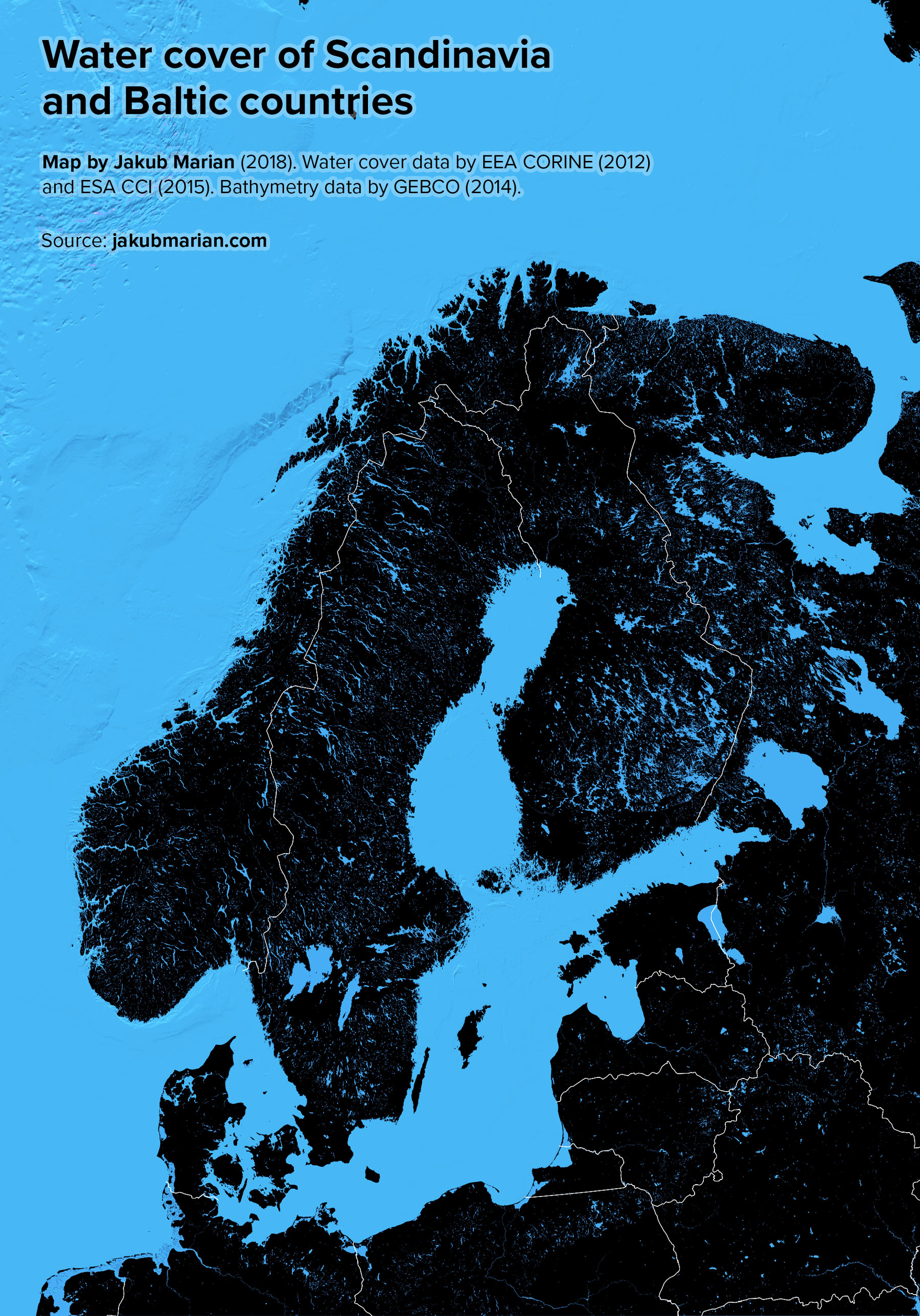
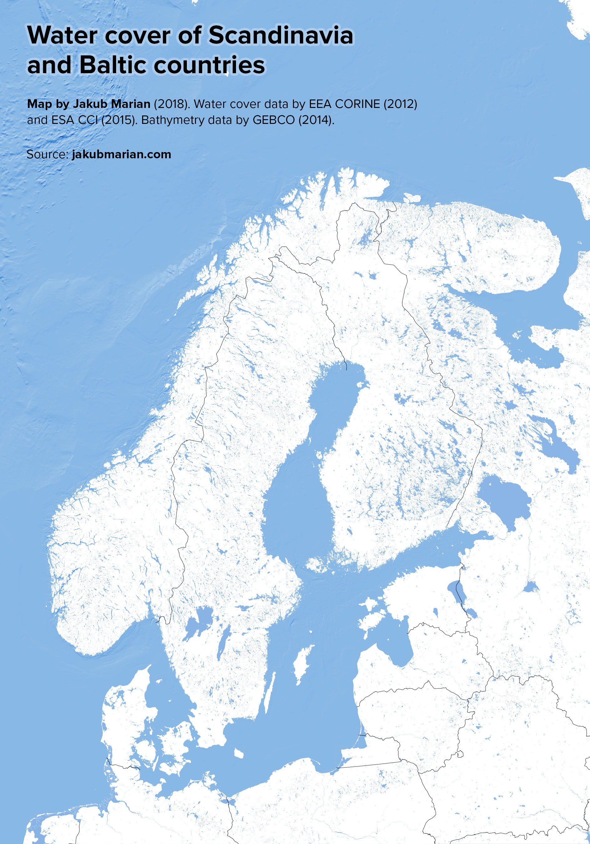
Did you know that around 10.2% of the area of Finland, 8.9% of Sweden, and 6% of Norway is covered with freshwater? Each of these countries has hundreds of thousands of lakes, which gives them the highest water-to-surface-area ratio of all European countries after the Netherlands (which is 18.4% freshwater, mostly artificial ponds and river deltas).
The map below is an accurate representation of water bodies in Scandinavia, Baltic countries, and Northwest Russia. You be the judge.
Do you like the map? Show your support by sharing it.Sharing with attribution helps me create more maps.
To really help appreciate the size of the water bodies, here is a high-contrast inverted version: