 |
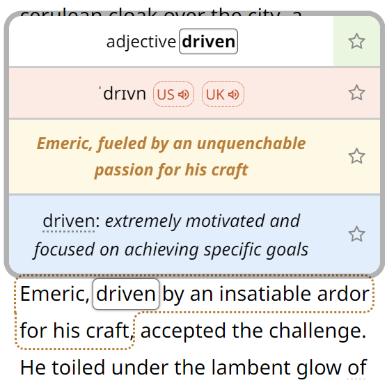
Highest recorded temperature by country in Europe
The highest officially recorded temperature in the world is 56.7 °C (134 °F), which occurred on 10 July 1913 in Furnace Creek, (...)
August 2, 2018 – Jakub Marian – Maps
|
 |
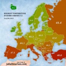
Year of opening of the first McDonald’s outlet by country in Europe
The first McDonald’s restaurant in Europe opened in 1971 in the Dutch city of Zaandam, closely followed by Munich in West Germany (also (...)
July 26, 2018 – Jakub Marian – Maps
|
 |
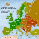
Google autocomplete for “Why does …” for European countries
When you start typing a search query into Google, it gives you suggestions based on what other people are searching for. The following map (...)
July 19, 2018 – Jakub Marian – Maps
|
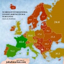 |
International tourist arrivals by country in Europe
Europe is by far the most popular destination of international tourists in the world: nearly 590 million people spent a night (or more) in (...)
June 28, 2018 – Jakub Marian – Maps
|
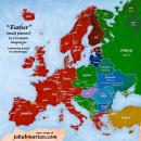 |
“Father” in European languages
It is probably not surprising that the English word “father” and German “Vater” share a common origin, but did you know that Irish and (...)
June 17, 2018 – Jakub Marian – Maps
|
By the way, have you already seen my brand new web app for non-native speakers of English? It's based on reading texts and learning by having all meanings, pronunciations, grammar forms etc. easily accessible. It looks like this:
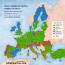 |
Most commonly grown cereal by region in Europe
The map below shows exactly what the title suggests: the most commonly grown type of cereal by region (in 2016), based on the area covered (...)
June 14, 2018 – Jakub Marian – Maps
|
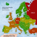 |
Population by country in Europe: Map
The map below shows the population of European countries in millions, based on data by the World Bank from 2016. Please note that high (...)
June 4, 2018 – Jakub Marian – Maps
|
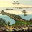 |
Vintage 3D map of Italy by Litografia Corbetta
The map below was published by Litografia Corbetta, a printing company that existed in Italy in the 19th century. I have created a (...)
May 23, 2018 – Jakub Marian – Maps
|
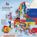 |
National anthem by country in Europe
The map below shows the beginning of the national anthem of each European country (except for several microstates) translated into English (...)
May 10, 2018 – Jakub Marian – Maps
|
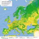 |
Land cover of Europe
The map below is based on data by the European Space Agency (the CCI project). It shows Europe and adjacent parts of Asia and Africa with (...)
May 7, 2018 – Jakub Marian – Maps
|
